THE WATER'S EDGE
How the shoreline shaped America—and carried it into the world...

America is blessed in abundance, and the ledger of its good fortune is long. It has some of the richest farmland on Earth, forests that once seemed inexhaustible, great rivers that drain half a continent, and reserves of minerals and energy vast enough to power an industrial civilization. It occupies a landmass broad enough to hold nearly every climate and landscape imaginable—desert and tundra, bayou and alpine meadow.
But one of its greatest natural treasures is easy to overlook, precisely because it lies at the country’s margins.
It is the shoreline itself.
By the official measure used by the National Oceanic and Atmospheric Administration, the United States possesses 95,471 miles of shoreline—a figure that includes not simply the open-ocean coast but tidal shoreline and the Great Lakes. It runs from the rocky coves of Maine to the warm shallows of Florida, across the Gulf of Mexico, up the long Pacific edge, through the wild reaches of Alaska, around the islands of Hawaii, and along the inland freshwater seas. The precise number is a matter of method—coastlines famously grow longer the more closely they are measured—but the larger point is unmistakable. America has been given extraordinary access to water.
The number itself is difficult to comprehend. If it were possible to start in New York City and travel due east along the city’s latitude for 95,471 miles, you could circle the Earth a little more than five times. On each circuit you would cross the Atlantic, the Iberian Peninsula, the Mediterranean region, Asia, Japan, the Pacific and the northern United States before returning to New York. After the fifth trip around the world, you would still have roughly 1,200 miles left—enough to carry you back out over the North Atlantic, roughly south of Newfoundland.
That access to the sea has been far more than a source of beauty. The sea fed the earliest settlements. Its harbors became gateways for immigration and commerce. Its ports connected farms and factories deep inside the continent with markets on the far side of the world. The Atlantic and Pacific became enormous defensive obstacles between America and its enemies. And around the places where land met water grew many of the cities that would eventually make the United States one of the great engines of commerce, migration, and cultural exchange the world has ever known: Boston, New York, Philadelphia, Baltimore, Charleston, New Orleans, San Francisco, Los Angeles, and Seattle.
Again and again, America grew near the water.
And then, after generations spent depending on the shoreline for survival, commerce, and security, Americans discovered another reason to treasure it.
They went simply because they loved it.
But that discovery came late in the story.
The story begins with need.
Before America
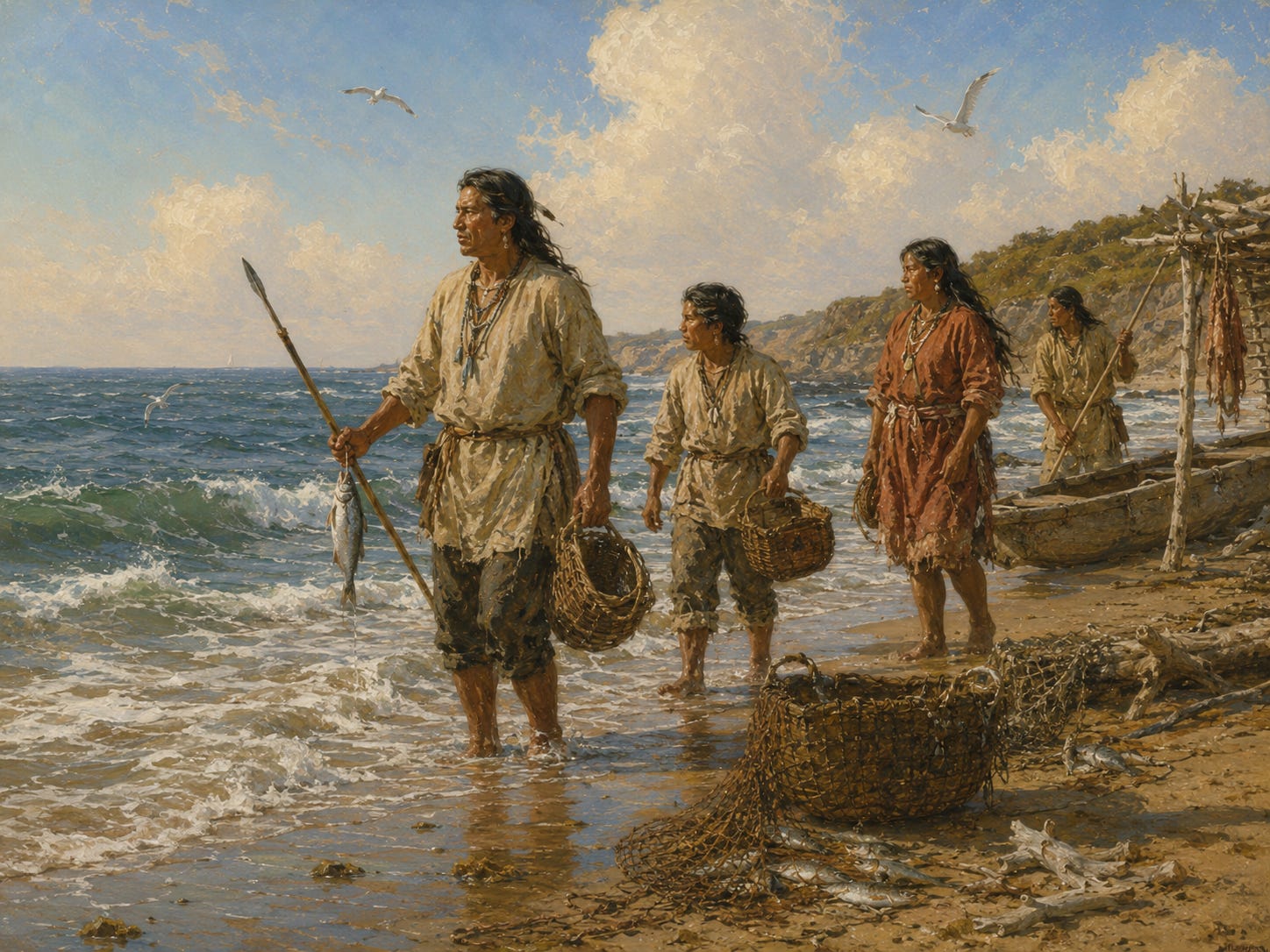
Long before there was a United States—or Jamestown, Plymouth, Boston, or New York—the eastern shoreline was already home to sophisticated Native nations whose lives were bound to the water.
The Wabanaki peoples of coastal Maine; the Wampanoag, Narragansett, and Pequot of New England; the Lenape around New York Harbor and the Delaware; and the Powhatan peoples of the Chesapeake hunted, fished, gathered shellfish, traveled by canoe, and used rivers and coastal waters as highways for trade and communication. The shoreline was not a boundary at the edge of their world. It was part of the world itself. National Park Service histories describe coastal Native communities moving seasonally along waterways, harvesting fish and shellfish and maintaining extensive trade networks long before Europeans arrived.
Their role in the country’s beginnings is impossible to separate from the story of European settlement. Wampanoag and Nauset people traded food with the struggling Plymouth colonists; in Virginia, the survival of Jamestown was repeatedly entangled with the food, diplomacy, trade, and ultimately warfare of the Powhatan chiefdom. The Lenape homeland encompassed places that would become New York and Philadelphia.
Europeans did not arrive at an empty shore.
They arrived in homelands already named, traveled, cultivated, traded across, and defended—and the encounters that followed, cooperative and violent alike, helped shape the colonies that became America.
Enjoying this story? Subscribe to Short Stop Media — it’s FREE — for more original reporting, history, and long-form features. Your subscription helps support our work, and paid options are also available for readers who would like to support us further.
A Nation Facing the Sea
Look at a map of America in 1776 and you will not see a continental power.
You will see a ribbon.
Thirteen colonies were strung along the Atlantic seaboard, their populations clustered largely between the ocean and the Appalachian frontier, their faces toward the water. The first federal census, taken in 1790, counted about 3.9 million people in the original states, with the densest concentrations clustered near the Atlantic coast and especially around Boston, New York, Philadelphia, and Baltimore.
The great colonial cities were not places that merely happened to be near water. They were important in large part because they were near the water. Boston commanded a harbor and a fishing and shipbuilding economy tied to the North Atlantic. New York sat at the mouth of the Hudson, with a protected harbor and a river corridor leading inland. Philadelphia rose on the Delaware. Baltimore grew on the Chesapeake. Charleston became a great exporting port for the Carolina lowcountry.
To understand why, it helps to remember what a ship represented in the eighteenth century.
A ship was the airplane, the railroad, and the tractor-trailer of its age.
Human beings had crossed stretches of open water for thousands of years, but the ocean-going vessels of the early modern world transformed the scale, speed, and regularity with which people and cargo could move between continents. Shipbuilding, navigation, and cartography were among the consequential technologies of their day.
Overland, a wagonload of grain could move painfully slowly over rough roads, its value steadily consumed by the cost of transportation. By water, large quantities of cargo could travel enormous distances at comparatively low cost. A colony with a good harbor possessed a commercial advantage that reached far beyond the harbor itself.
In that sense, America was born from the sea.
The interior remained the frontier. Across the ocean were the markets, capital, immigrants, information, and political power that shaped colonial life.
Before Americans became a people looking west, they were a people looking east across the Atlantic.
The War at the Water’s Edge
The same coastline that made colonial America prosperous also made revolutionary America vulnerable.
When war came, the shoreline became a battlefield—the country’s lifeline and its soft underbelly at once. Britain possessed the most powerful navy on Earth, and it used the American coast to move troops, blockade commerce, and support operations against the great coastal cities. The Continental Army could march. The Royal Navy could sail.
For much of the war, sailing was faster.
But the sea that had been Britain’s great advantage ultimately helped decide the Revolution in America’s favor.
The opportunity came in 1781. When Admiral François Joseph Paul de Grasse brought a large French fleet north from the Caribbean into the Chesapeake, Washington and Rochambeau moved their armies south toward Virginia, where Cornwallis had established himself at Yorktown.
On September 5, de Grasse’s fleet fought the British at the Battle of the Capes and retained control of the Chesapeake. Cornwallis could not be relieved by sea, while the combined Franco-American army tightened around him on land. He surrendered in October. The National Park Service describes French control of the Chesapeake as critical to preventing British reinforcement and escape.
There is a certain symmetry in this.
The nation that had grown up at the water’s edge won its independence there, too.
American independence was secured, in no small part, where the land met the sea.
A Continent Reaches the Oceans
What happened next is usually told as a story of land—wagons and railroads, homesteads and a people moving west.
But again and again, American expansion was also an expansion toward new water.
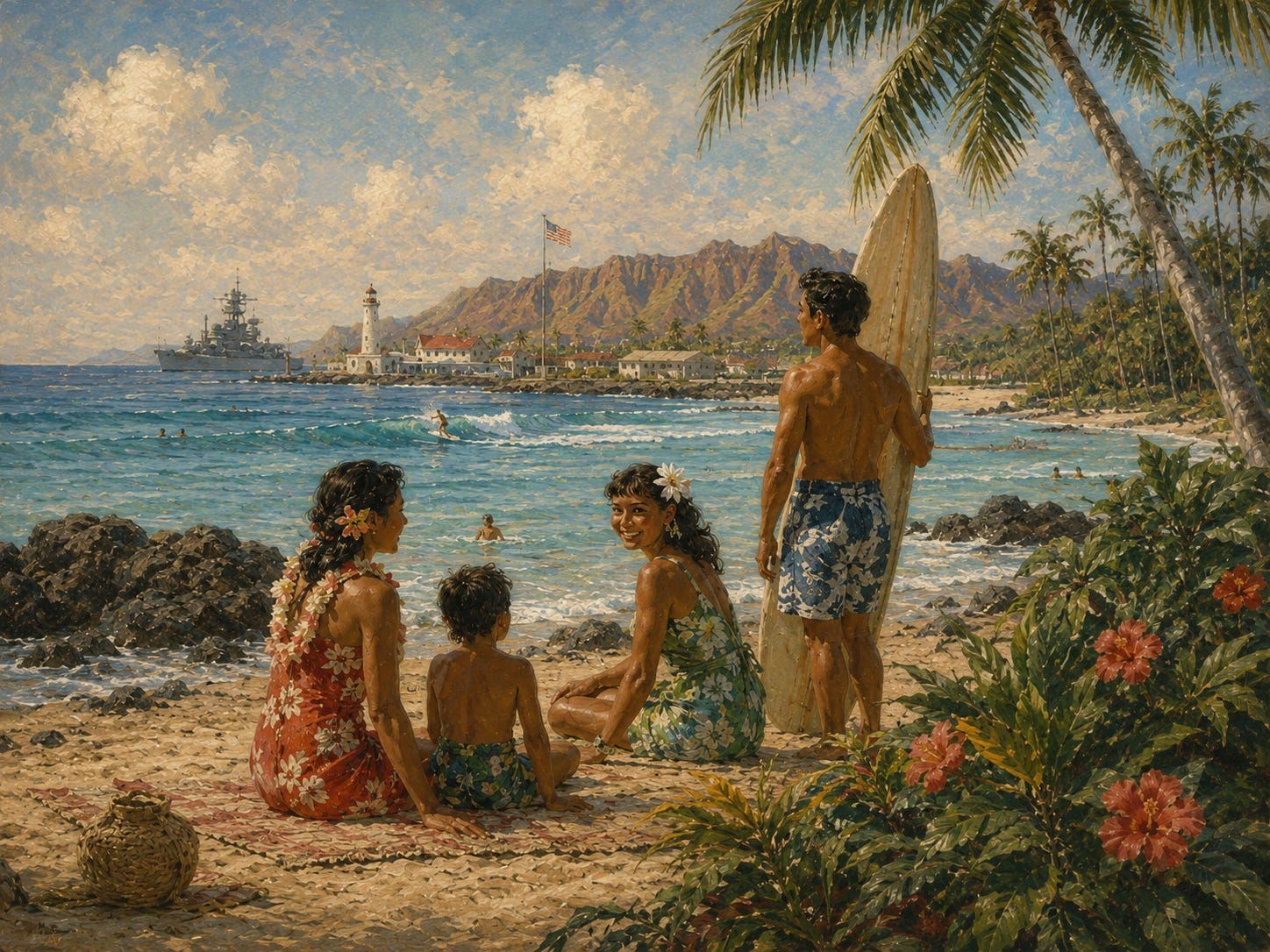
In 1776, the United States was essentially an Atlantic nation. The Louisiana Purchase of 1803 secured New Orleans and the mouth of the Mississippi, deepening the country’s access to the Gulf. Florida followed in 1821. Texas joined the Union in 1845. The settlement of the Oregon boundary in 1846 and the Mexican Cession of 1848 carried the United States to the Pacific and brought the great harbors of the West Coast into the American story. Alaska, purchased from Russia in 1867, added more tidal shoreline than the entire lower forty-eight states combined. Hawaii, annexed in 1898, placed American territory deep in the Pacific itself.
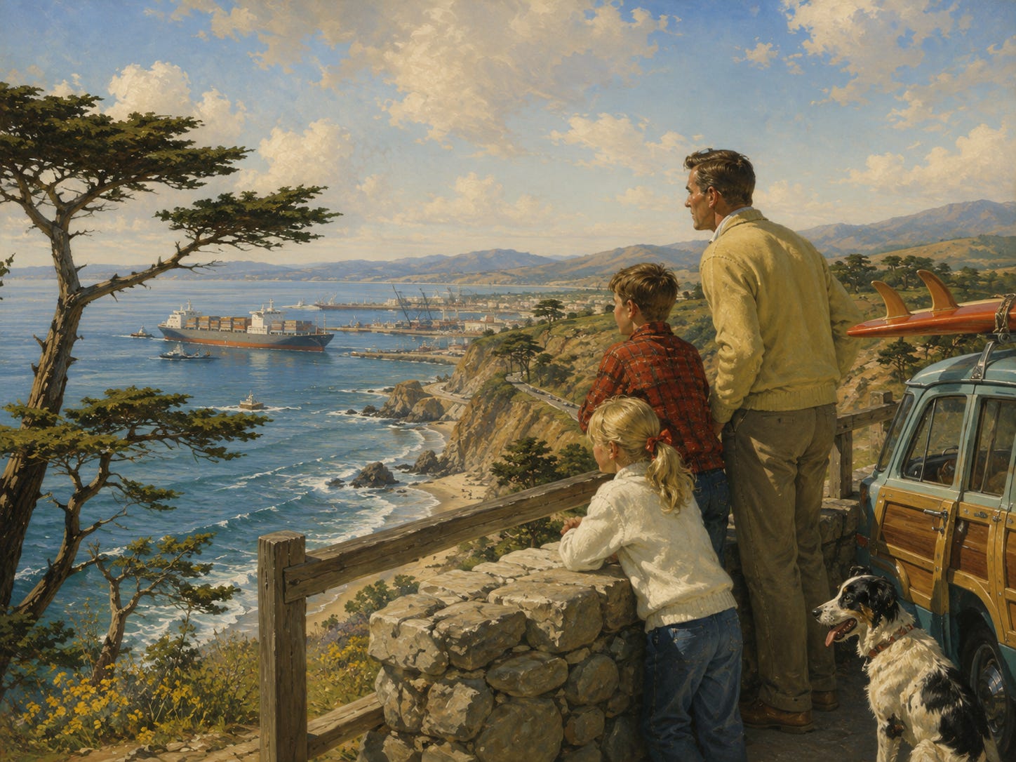
And what America gained along the Pacific was extraordinary in beauty as well as value. California’s coast runs from the redwood cliffs of the north through San Francisco Bay and Big Sur to the beaches of Southern California, while its great ports opened the American economy directly to Asia; today Los Angeles and Long Beach together handle roughly 31 percent of the nation’s containerized international waterborne trade.
Alaska added something altogether wilder—nearly 34,000 miles of coastline cut by glaciers, fjords, islands, and immense fisheries, along with an American position facing both the North Pacific and the Arctic at one of the most strategically important corners of the globe. And Hawaii gave the country perhaps its most beautiful maritime outpost of all: volcanic islands rising from the central Pacific, but also a strategic bridge between the American mainland and Asia. Pearl Harbor would become the Navy’s great Pacific base, positioned to protect vital shipping lanes and project American power thousands of miles westward.
The transformation was extraordinary.
A country that began as a thin line of settlements on one ocean became a continental maritime nation facing the Atlantic, the Pacific, and the Gulf of Mexico, with the Great Lakes to the north and an interior threaded by navigable rivers.
Manifest Destiny is usually rendered as a hunger for land.
It was also a hunger for access—to rivers, harbors, ports, and oceans, and to the worlds that lay beyond them.
The Economics of the Water’s Edge
Why, exactly, did all that shoreline make America richer?
The answer begins with an economic reality that has governed civilization since antiquity: goods move extraordinarily efficiently by water. Floating bulk cargo generally requires far less energy than hauling the same cargo over land, and that arithmetic, compounded across centuries, helped turn good harbors into cities and cities into centers of finance and industry.
America converted that arithmetic into a machine.
Ports connected the interior to global markets. Harbors attracted merchants; merchants attracted banks and warehouses; industry followed; railroads and later highways reached inland and pulled still more commerce back toward the water.
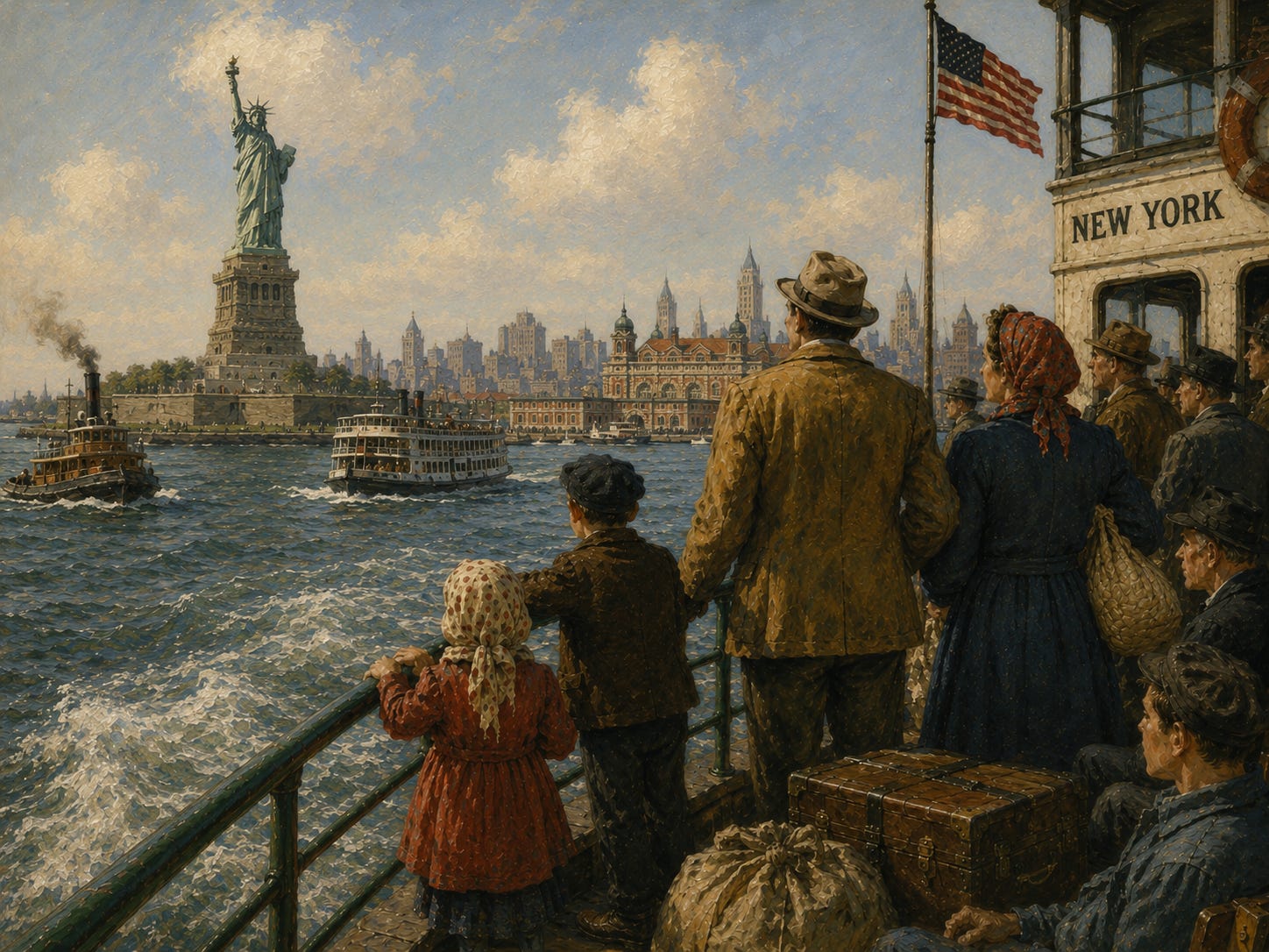
Immigration flowed through many of the same gateways. For generations, millions of newcomers first encountered America at coastal ports—Castle Garden and Ellis Island in New York, the wharves of Boston and Philadelphia, New Orleans on the Gulf, Angel Island in San Francisco Bay.
Enjoying this story? Subscribe to Short Stop Media — it’s FREE — for more original reporting, history, and long-form features. Your subscription helps support our work, and paid options are also available for readers who would like to support us further.
What the Water Gave Us
The sea furnished food, from the cod fisheries of New England to the shrimp fleets of the Gulf.
But few stretches of the American coast capture that combination of abundance and danger better than North Carolina’s Outer Banks. There, a thin ribbon of barrier islands reaches into an Atlantic where the warm Gulf Stream meets the colder waters from the north, creating an unusually rich meeting ground for marine life and some of the finest fishing waters along the Eastern Seaboard. But the same currents, storms, and shifting shoals that filled the waters with life also made them ferocious to navigate. Hundreds of ships were lost along this coast, earning it a name that survives to this day: the “Graveyard of the Atlantic.”
The danger also provided opportunity for men who lived outside the law. Pirates used North Carolina’s secluded inlets and sounds as hiding places and hunting grounds, none more famously than Edward Teach—Blackbeard—who prowled these waters in the early eighteenth century. His flagship, Queen Anne’s Revenge, ran aground near Beaufort Inlet in 1718, and Blackbeard himself was killed later that year in a bloody battle near Ocracoke. The legends of pirates burying chests of gold along the Outer Banks are harder to substantiate—the National Park Service notes there is no evidence that Blackbeard and his men buried treasure on Ocracoke—but the wrecks beneath the water are very real. Archaeologists have recovered cannons, weapons, gold grains, and other artifacts from the wreck of Queen Anne’s Revenge more than three centuries after she went down.
Nowhere was the intersection of the sea and the food it provides more vivid than in New York, which for two centuries was the oyster capital of the world. The harbor’s estuary held some 350 square miles of oyster beds—by some estimates, half the world’s supply—and the oyster was the city’s original street food. Long before “dirty water” hot dogs were served from silver carts, New Yorkers ate oysters from pushcarts and cellar saloons, shucked on the spot for a few cents, a food so democratic that it fed dockworkers and Astors alike. Ellis Island and Liberty Island, the very gateways of American immigration, were known to the Dutch as the Oyster Islands. The feast lasted until the water itself gave out: by 1927, pollution had closed the last of the harbor’s beds. That, too, is part of the shoreline’s story—abundance is not automatic, and what the water gives, a careless country can take away.
The sea also furnished energy.
At first, the energy was alive, and Americans hunted it under sail. Before petroleum, before electricity, the lamps of America and much of the world burned whale oil, and the finest light of all came from spermaceti, the waxy oil carried in the head of the sperm whale. Whaling was the country’s first great energy industry—and it defined the early days of coastal New England and Long Island. Nantucket ruled the trade in the eighteenth century. New Bedford ruled it in the nineteenth, sending hundreds of ships on voyages that lasted years and rounded the far side of the globe; at the industry’s height, it was said to be the richest city per capita in America, and it is still remembered as “the city that lit the world.” On Long Island, Sag Harbor grew into one of the great whaling ports of the age—for a time its fleet rivaled those of New England—and smaller harbors like Cold Spring Harbor and Greenport sent their own ships to sea. When Melville opened Moby-Dick on the streets of New Bedford, he was describing not an exotic outpost but the Houston, Texas of its day.
The age of whale oil ended the way energy eras usually end—not because the wells ran dry, but because something better came along. In 1859, a well drilled in the hills of Pennsylvania struck petroleum, and within a generation the whaling fleets rotted at their wharves.
But America’s pursuit of energy never left the water. It simply went beneath it.
Beneath the floor of America’s oceans lies one of the largest untapped storehouses of energy on Earth. In its most recent national assessment, the federal Bureau of Ocean Energy Management estimated that the waters of the Outer Continental Shelf hold some 65.8 billion barrels of undiscovered, technically recoverable oil and roughly 218 trillion cubic feet of natural gas—enough, by the government’s own reckoning, to support a hundred years or more of production from the shelf.
Some of that endowment is already at work. In the Gulf of Mexico, platforms standing in water more than a mile deep pump about 1.8 million barrels of crude every day—roughly one of every seven barrels the nation produces.
But much of the rest has been deliberately set aside. The eastern Gulf sits under a moratorium that runs into the 2030s. Vast stretches of the Atlantic, the Pacific, and the Arctic—hundreds of millions of acres in all—have been withdrawn from leasing, and though presidents of both parties have argued over exactly where those lines should fall, most of the offshore endowment remains untouched.
Whether one regards that restraint as prudence or as opportunity deferred, it amounts to the same striking fact: America holds in reserve, beneath its own waters, an energy inheritance it has barely begun to spend.
Add it all up—the ports and the fisheries, the platforms and the shipyards, the boardwalks and the marinas and the enormous web of businesses that exist only because land meets water—and the scale is remarkable.
NOAA reports that roughly 129 million people—almost 40 percent of the nation—live in coastal counties occupying less than 10 percent of the country’s land area, excluding Alaska. Those counties annually produce about $10 trillion in goods and services and support 54.6 million jobs. The narrower marine economy alone accounted for $511 billion of U.S. GDP in 2023.
The water’s edge is not merely where America ends.
A remarkable share of the American economy begins there.
Two Oceans and a Continental Moat
The shoreline made America rich.
It also, in a more complicated way, helped keep America safe.
The oceans were never an impermeable shield. Pearl Harbor proved that. German U-boats sank ships off the American coast during the Second World War, and Japanese forces occupied islands in the Aleutians. The sea has always been a highway as well as a barrier, and highways run in both directions.
What the Atlantic and Pacific gave America was something subtler and more valuable: strategic depth on a planetary scale.
The great powers of Europe lived within marching distance of one another. No enemy army could simply march to the continental United States. An invasion required moving men, weapons, fuel, food, ammunition, and replacements across thousands of miles of ocean and sustaining them there against a country possessing continental resources of its own.
In both World Wars, that distance mattered. America’s principal population and industrial centers remained far from the great ground battles consuming Europe. During the Second World War, American and British planners explicitly regarded a large-scale Japanese invasion of the United States as highly improbable.
And so America enjoyed an extraordinary advantage.
Its factories and population centers could mobilize largely beyond the reach of enemy armies while American military power moved outward across both oceans.
The same water that carried immigrants and cargo toward America made the movement of invading armies toward America vastly more difficult.
Few great powers have ever held both ends of that bargain so favorably.
Enjoying this story? Subscribe to Short Stop Media — it’s FREE — for more original reporting, history, and long-form features. Your subscription helps support our work, and paid options are also available for readers who would like to support us further.
From Shoreline to Sea Power
Out of that maritime geography came the institution that eventually turned American access to the oceans into American power upon them:
The United States Navy.
No single man founded it. The Continental Congress did, although John Adams was among its early advocates and served on the congressional committee charged with naval affairs.
On October 13, 1775, Congress authorized the outfitting of two armed vessels to intercept British ships carrying supplies and ammunition. That decision is remembered as the birth of the Continental Navy.
The fleet was disbanded after the Revolution, but the young republic soon discovered that political independence meant less if American merchant ships could be attacked with impunity. In 1794, with American commerce threatened by Barbary corsairs, Congress authorized construction of six frigates. Among them was USS Constitution—”Old Ironsides.”
The purpose of the Navy was there almost from the beginning: protect American commerce, keep the sea lanes open, and give the new nation the ability to defend its interests beyond its own shoreline.
Over the next century, that modest force became something much larger.
American squadrons sailed overseas. Steam and steel replaced sail and wood. And in 1907, President Theodore Roosevelt sent sixteen battleships of the Great White Fleet around the world. The fourteen-month voyage was theater, diplomacy and deterrence all at once: a deliberate announcement that a nation once confined to the Atlantic seaboard had become a global maritime power.
Then warfare changed again.
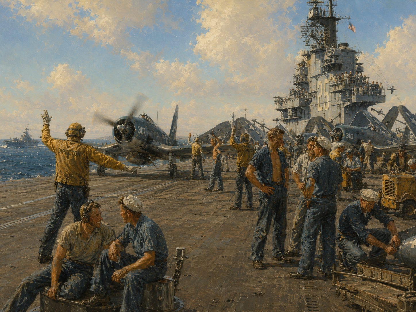
During the Second World War, the aircraft carrier displaced the battleship as the central instrument of naval power. Carriers played leading roles at Coral Sea, Midway and across the Pacific, transforming the ship itself into a mobile airfield. After 1945, the carrier strike group became perhaps the most recognizable expression of American military power abroad: a floating piece of the United States capable of moving through international waters and putting American aircraft within striking distance of events thousands of miles from home.
But another revolution was taking place beneath the surface.
The Navy commissioned USS Holland, its first modern submarine, in 1900. Fifty-five years later, USS Nautilus became the world’s first nuclear-powered submarine. Nuclear propulsion transformed the undersea realm. Submarines could remain submerged for long periods, travel enormous distances, hunt enemy ships and submarines, gather intelligence, launch cruise missiles and—in the case of ballistic-missile submarines—carry part of the nation’s nuclear deterrent.
Now another change is underway.
And it may prove as consequential as the transition from battleship to aircraft carrier.
Artificial intelligence, autonomous navigation, inexpensive drones, unmanned surface craft, and increasingly capable unmanned undersea vehicles are beginning to change the economics of naval warfare.
The United States Navy itself is moving rapidly into this world. It is developing autonomous surface and underwater systems, integrating AI into fleet operations, and has already accepted an extra-large unmanned undersea vehicle that the Navy describes as an autonomous diesel-electric submarine. Navy leaders now speak openly of combining expensive crewed ships with cheaper unmanned systems that can scout, sense, screen, deceive, carry payloads, and absorb risks that would otherwise be borne by sailors.
That raises an uncomfortable question.
For eighty years, American naval power has been organized in significant part around extraordinarily capable—but extraordinarily valuable—aircraft carriers.
What happens if future swarms of autonomous aircraft, surface drones, long-range weapons, or unmanned submarines can threaten those ships at a fraction of their cost?
It would be premature to declare the aircraft carrier obsolete. Carriers do not operate alone. They travel inside heavily defended strike groups surrounded by destroyers, submarines, aircraft, sensors, electronic warfare and layered missile defenses.
But history is littered with weapons systems that appeared dominant until a new technology changed the price of attacking them.
The battleship itself once seemed indispensable.
If carriers someday become too vulnerable to operate close enough to an enemy to project power safely, the United States Navy would not cease to be the United States Navy.
It would change.
Power could become more widely distributed among submarines, smaller surface ships, unmanned vessels, long-range aircraft and missiles, dispersed bases, and networks of sensors and weapons rather than concentrated in a relative handful of enormous platforms. Indeed, the Navy’s current investment in unmanned systems suggests that it is already preparing for a world in which distribution, autonomy and numbers matter increasingly alongside the exquisite capabilities of individual ships.
And in such a world, the submarine may become more important rather than less.
Hidden beneath hundreds or thousands of feet of water, difficult to detect and increasingly capable of working alongside autonomous undersea vehicles, the submarine possesses precisely the characteristic that a giant surface ship can never fully acquire:
It can disappear.
The irony would be striking.
The country whose geography made command of the sea one of its greatest advantages may now be entering an age in which machines without sailors aboard increasingly contest that command.
The Geography of Advantage
It is tempting, at this point, to reach for a table of figures—to line up America’s 95,471 miles against the coastlines of other great nations and declare victory by measurement.
The temptation should be resisted.
Shoreline statistics do not compare cleanly across countries, and raw mileage is not the real advantage.
What matters is what lies behind the coast—and where that coast leads.
Britain possesses superb maritime access and a naval tradition that once supported a global empire, but with a far smaller land and resource base behind it. Russia possesses enormous territory and an immense shoreline, much of it facing the Arctic. China has some of the world’s greatest ports and a powerful Pacific-facing commercial coast. Australia has a vast coastline around a continent with a relatively small population and a famously arid interior.
Now consider America.
An Atlantic coast.
A Pacific coast.
A Gulf coast.
The freshwater seas of the Great Lakes.
Thousands of miles of navigable rivers penetrating an enormous and productive interior.
And all of it under one national system, positioned between two of the world’s great oceans.
The American advantage was never simply more beach.
It was abundant harbors, abundant land, abundant resources, interior waterways, and geographic insulation arriving together in one place.
Other nations were dealt some of those cards.
America was dealt something very close to the royal flush.

Enjoying this story? Subscribe to Short Stop Media — it’s FREE — for more original reporting, history, and long-form features. Your subscription helps support our work, and paid options are also available for readers who would like to support us further.
From Need To Desire
For most of human history, people approached the shoreline because they needed something from it.
Food.
Transportation.
Trade.
Protection.
Work.
The edge of the sea was not scenery.
It was infrastructure.
America was no different. Much of the country was built at the water’s edge because the water was useful, and for generations usefulness was reason enough.
But somewhere along the way, something changed.
The fishing wharves gained boardwalks. Working harbors were joined by marinas. Railroads and highways began carrying people toward the water who had no cargo to ship, no fish to catch, no passage to book, and no business to conduct there.
Americans began going to the shore even when they needed absolutely nothing from it.
They went simply to sit there—at the rim of the continent—and look out at the water that had helped make the country.
Why?
In Part II, we will explore that very different relationship with the shoreline: why human beings are drawn to beaches; why generations of families return to the same stretches of sand; why some of our strongest memories are tied to salt water, boardwalks, waves, and summer; and why doing almost nothing beside the ocean can somehow feel like doing exactly what we needed.
The first story of America’s shoreline is the story of what the water gave the country.
The second is about what, even now, it gives us.